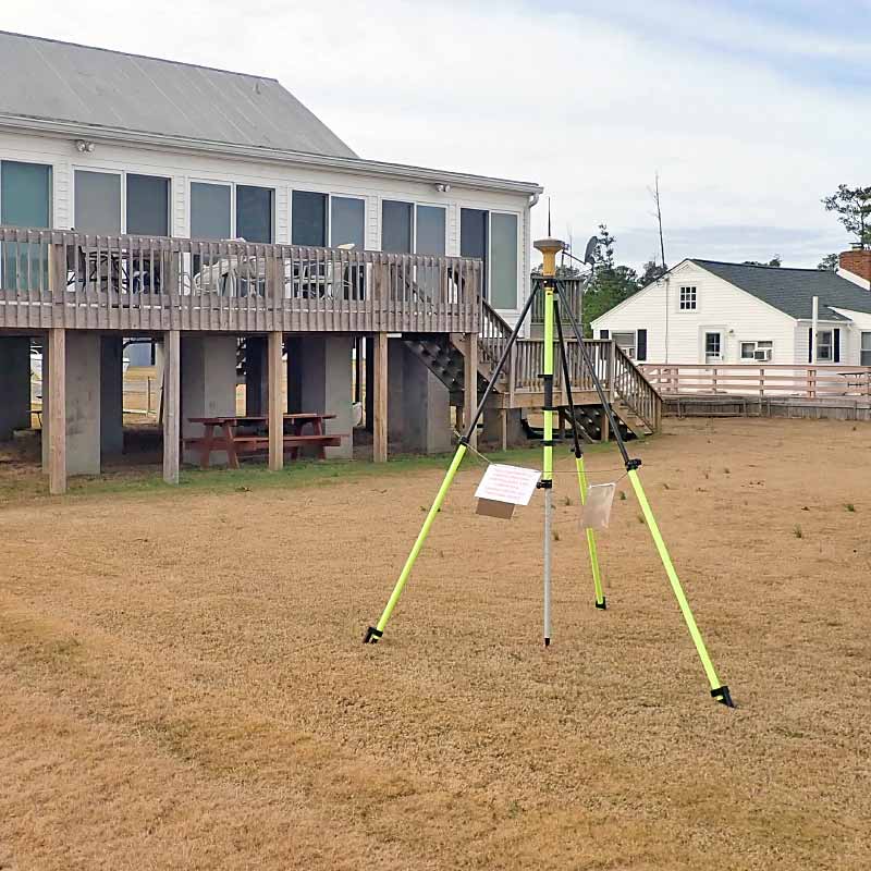
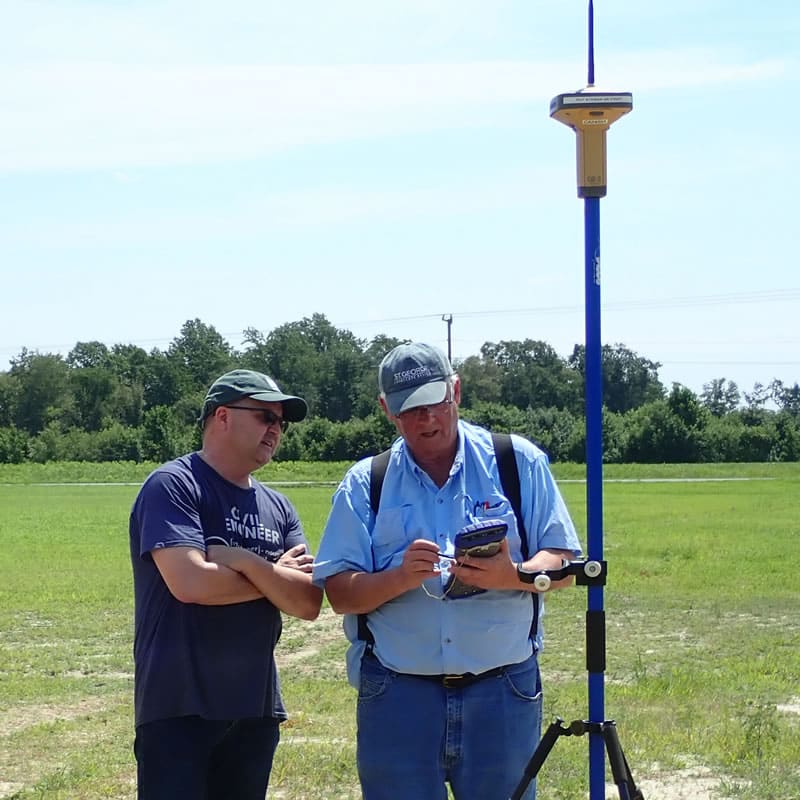
LAND SURVEYING
Bayshore Design partners with a professional survey firm to provide a full line of land surveying services to homeowners, realtors, contractors, and developers. Our work is accurate and our rates are competitive… and the job gets done on time! Our survey work is done by licensed professionals and experienced crews and they are equipped with the latest technology and equipment, including GPS. Contact us to discuss your land surveying needs and we will quickly respond with a written proposal.
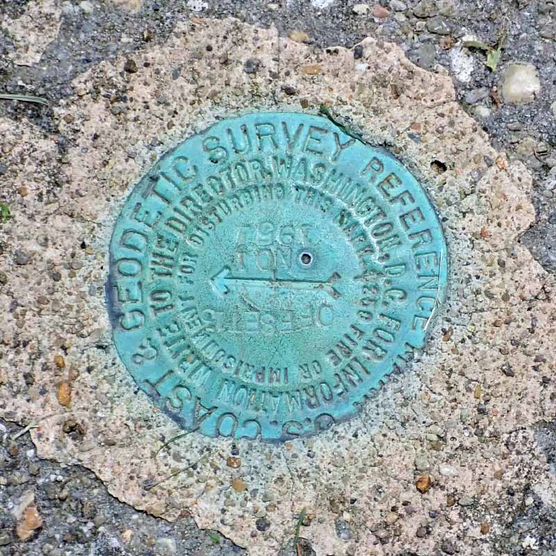
Boundary Survey
A boundary survey accurately establishes property monumentation and lines, and location of existing improvements. These services are provided for fence installation, landscaping, property line dispute/resolution, additions to existing homes and new home design. A boundary survey may also include the delineation of any wetlands features found on a site for purposes of establishing any required setbacks.
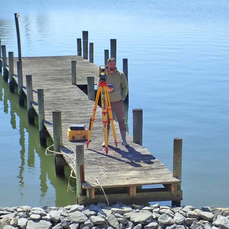
Topographic Surveys
A topographic survey provides the location, both horizontally and vertically, of natural and manmade features on a site such as land elevation contours, shorelines and streams, wetlands, vegetation, and any site improvements.
ALTA/ACSM
ALTA/ACSM surveys are made for the purpose of supplying a title company and lender with survey and location data necessary for the issuing of title and/or mortgage insurance. A detailed map is required to be done to “ALTA” specifications and must meet the “Minimum Standard Detail Requirements for ALTA/ACSM Land Title Surveys”. The acronym “ALTA” stands for American Land Title Association. Specifications of this type of survey include (but are not limited to) determining property lines, location of improvements, identifying all easements, utilities and other conditions affecting the property. ALTA surveys are very comprehensive surveys and typically cost thousands of dollars and take weeks to complete. The Alta survey is most often performed on commercial properties.
Elevation Certificates
Elevation Certificates are prepared to provide elevation information to ensure compliance with community floodplain management ordinances and can also aid in determining correct rates for insurance premiums and obtaining requests for a Letter of Map Amendment (LOMA).
Mortgage Surveys
Mortgage surveys are typically used by title companies and mortgage lenders to obtain proof that the major improvements on the property are free of encroachments onto neighboring properties or into recorded easements. Mortgage surveys do not establish property corners or property lines and may not be used for building purposes.
Subdivisions
Subdivisions divide a tract of land into two or more parcels and are typically done for the division of family property, the creation of lots for housing development, or simply for creating lots for investment purposes.
Location Surveys
Location surveys show the location of foundations and existing features (ie. house, shed, driveway, etc.) to accurately determine the location of such structures relative to property lines and zoning setback lines.
Lot Staking
Lot staking involves field surveying to locate or establish property corner markers and lot lines found from public records.
Construction Staking
Construction staking involves the field setting of survey located points to allow builders and contractors to accurately place and construct new homes, additions, commercial buildings, streets, utilities, etc. on residential or commercial sites.
Who We Are
Bayshore Design LLC—located in Hague on Virginia’s Northern Neck—has been successfully guiding clients through the tangled web of building and waterfront regulations since 1987. For just as long, we have been designing creative and sensible homes and home additions to help our clients realize the full potential of their real estate investments.
Learn more about us, browse our pages for more information, contact us or give us a call at 804-472-4439 to discuss your ideas or requirements.